Before COVID-19 halted local and global travel, moved academic life to Zoom, and pushed everyone except essential workers into social distance, the Loeb Fellowship visited Bangkok.
With Kotch Voraakhom, Niall Kirkwood, and the students in the THAILAND REMADE option studio, we used the river to explore connections between the local and regional water system, urban development, and a changing global climate. A river can be an excellent tour guide.
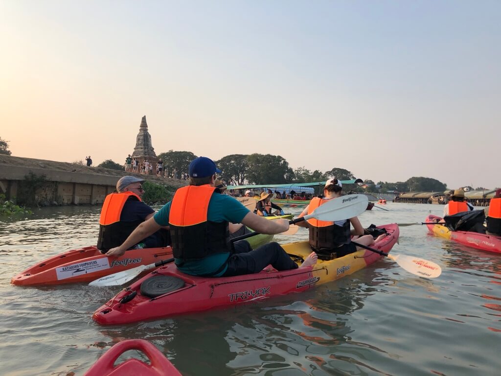
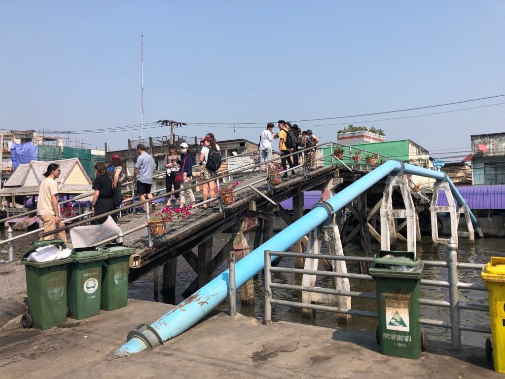
We navigated the Chao Phraya’s currents across the massive city and region on large municipal ferries, ruea hang yao–traditional wooden longtail boats, and kayaks. The economy and industry of the region formed out of management of this massive delta, and the city’s development history can be understood through the changes in ecology, movement, and management of the Chao Phraya’s waters.
A Dynamic Ecosystem
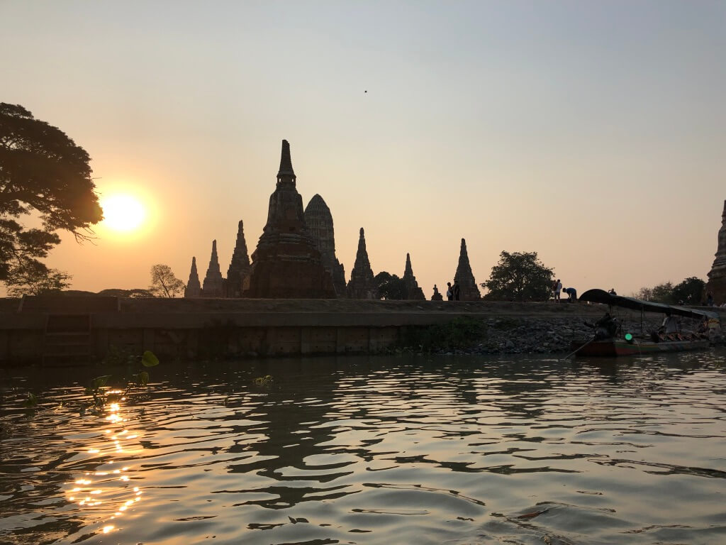
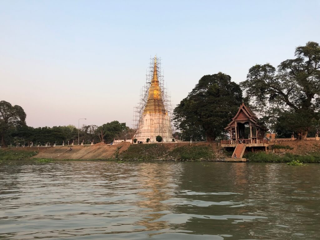
On the outskirts of the delta are the 14th Century capital palaces of Ayutthaya. Ayutthaya is north of Bangkok, situated within the enormous land area that is the Chao Phraya’s watershed.
The location was strategic: the Chao Phraya allowed access to the Gulf of Siam but lies just outside its tidal flood plain. The capital moved from Ayutthaya to Bangkok, closer to the Gulf of Siam.
The river and its tributaries have always been used for transportation, fishing, and food, but the landforms and ecology changed with the development of a canal system to manage rice paddies.
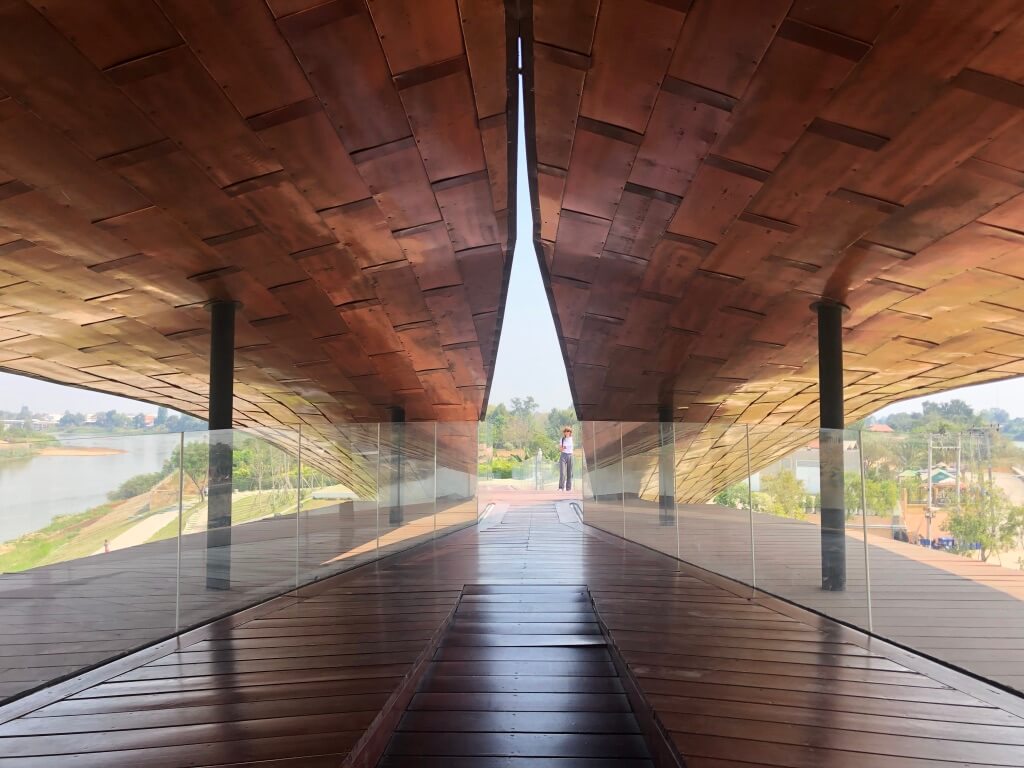
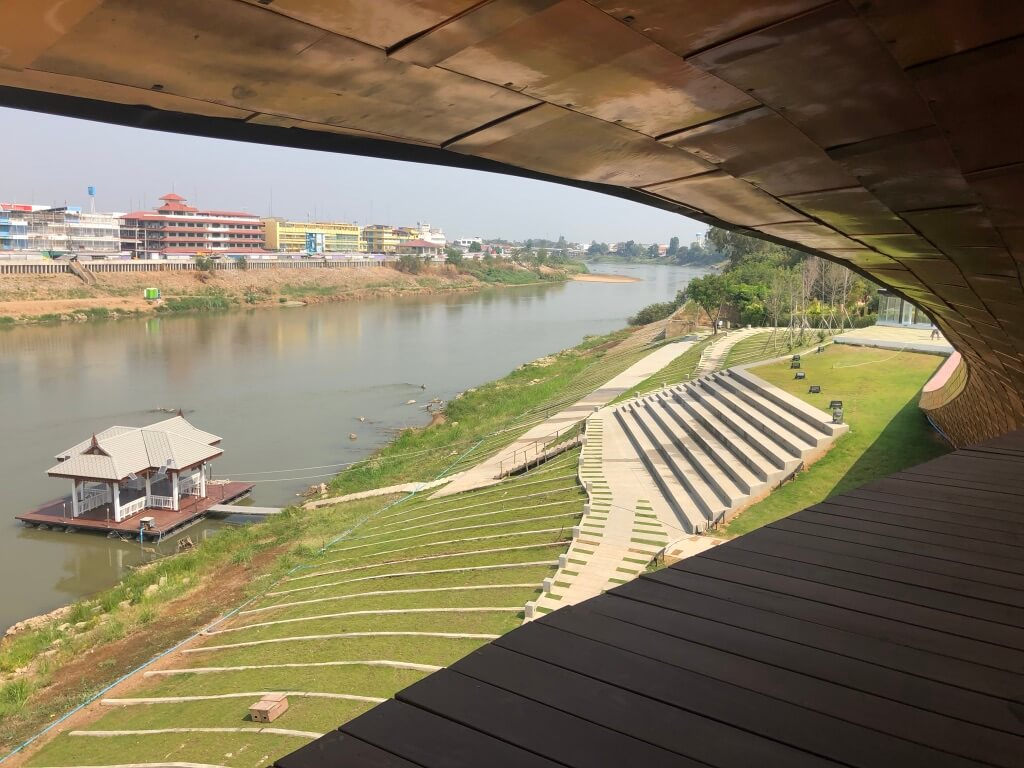
Just slightly south of Ayutthaya, at the convergence of the Chao Phraya with the Sakae Krang, there is a monument to the river.
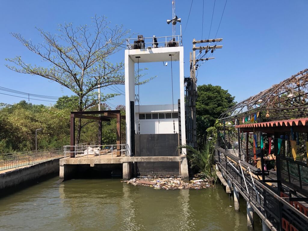
Very little of the natural ecosystem endures, as embankments, dams, and culverts were constructed to manage waters for farming purposes and to control flooding. Paradoxically these interventions increased the potential for catastrophe downstream in Bangkok, as the volume of water is larger and less predictable, and the areas under management have shrunk.
As Bangkok’s population has grown, ground water has been extracted for drinking and agriculture and depleted; in consequence, the ground level has subsided. The whole region is sinking.
Living with Water
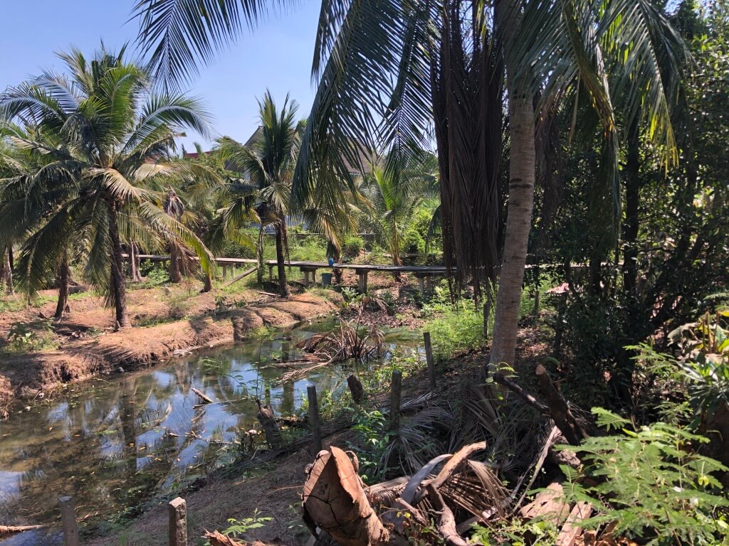
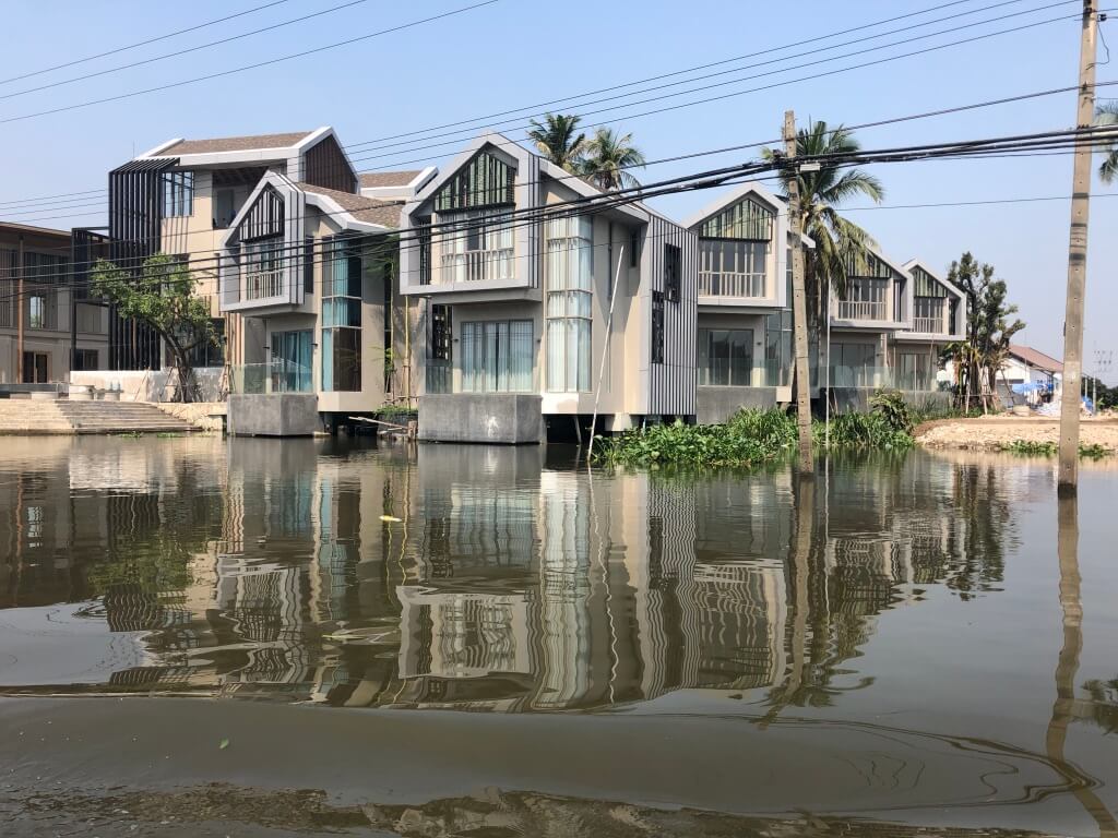
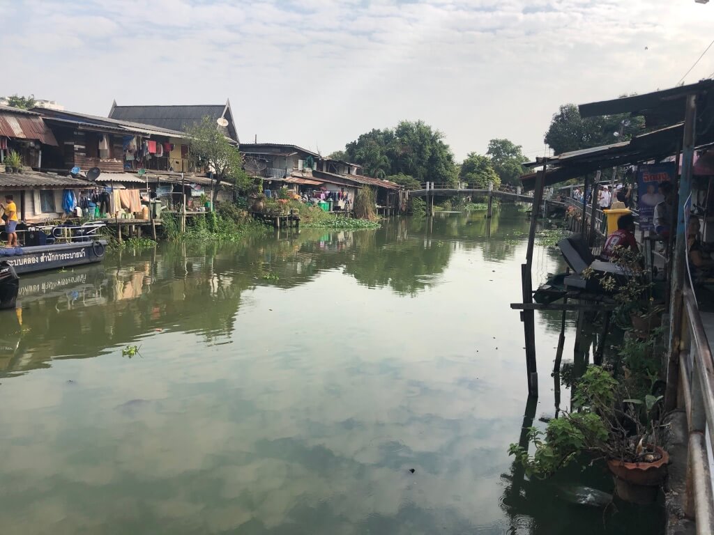
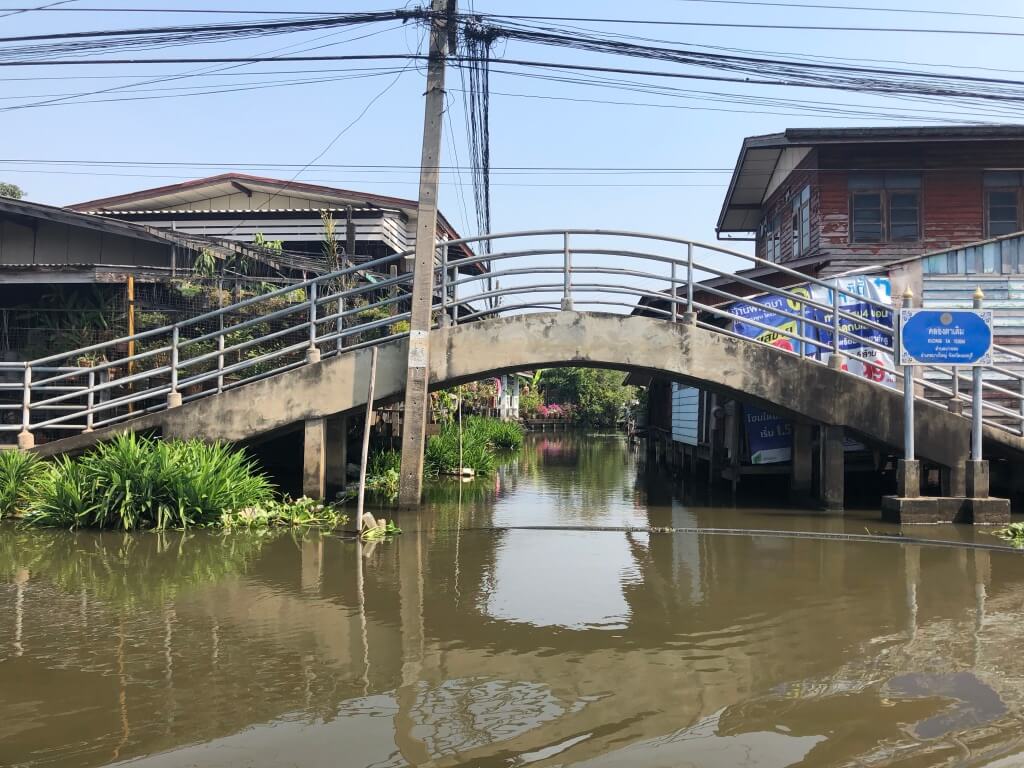
In the Yai Canal, there are remnants of housing damaged in the 2011 floods alongside new housing built consciously for the risk of future floods. People move on the river on ferries and personal boats alongside industrial goods.
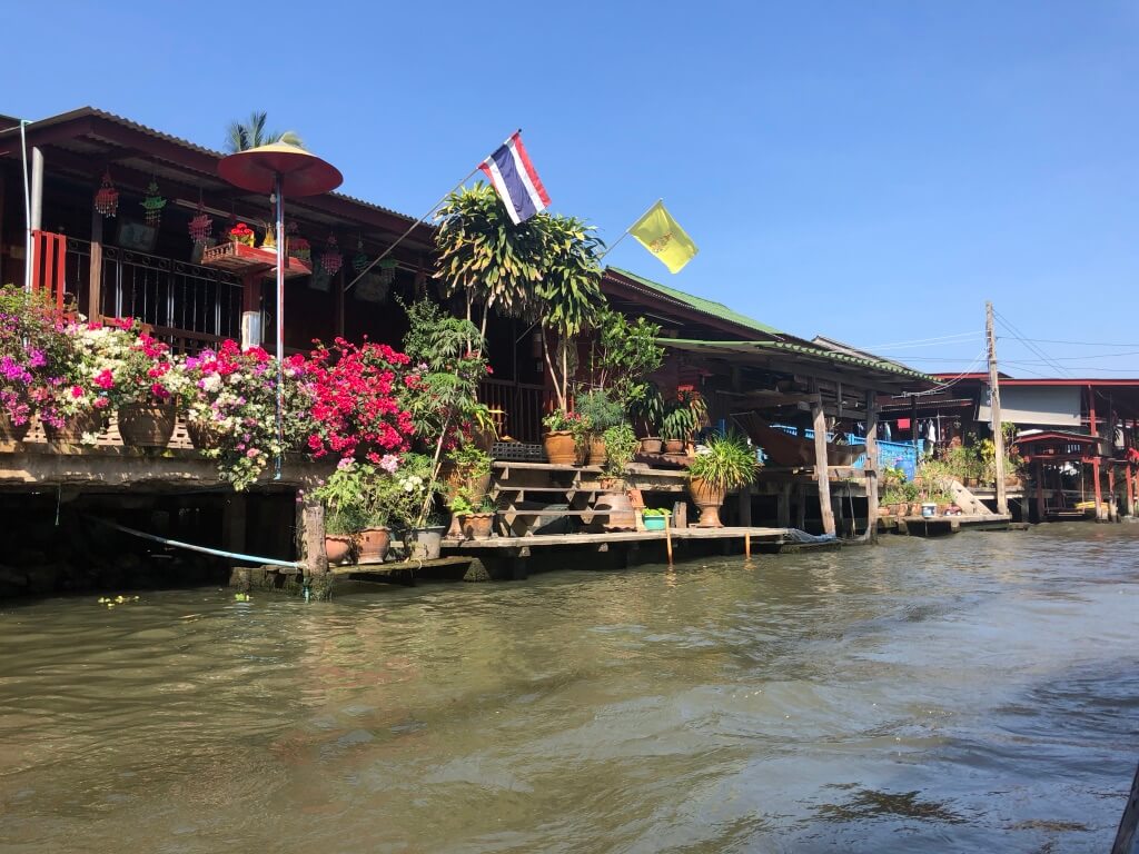
The canals are still an active and vibrant source of culture and mobility. Housing and life can be amphibious, hovering just above the water.
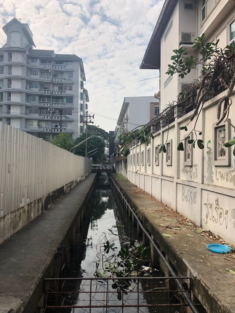
Pipes are everywhere
The management of potable water and sewage along the rivers and canals is distinctive.
Maintaining water quality in the canals seems to be a constant challenge.
Hard and Soft Water Management
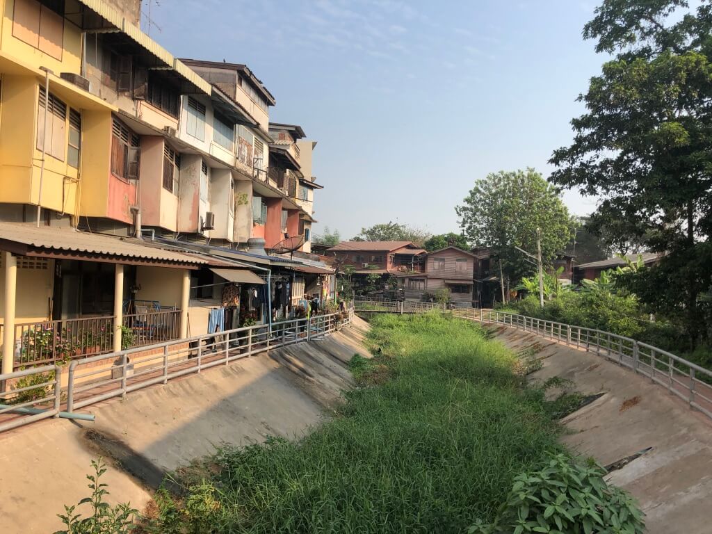
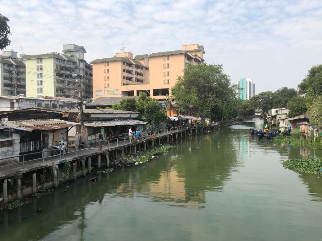
Despite this biophysical challenge, Bangkok residents have a critical cultural connection to the canals and to living with water. The Lad Proa community resides along the Lad Proa canal in self-constructed homes in what are considered informal settlements by the government.
City officials developed plans to expand space for the canals, create some public esplanades, and create porous areas to manage flooding and precipitation. These public investments will come at a significant cost to the residents of Lad Proa, who will move into affordable housing in a single multifamily, multistory structure. The community will still be next to the canal, but their lives will be different. They will no longer live in direct contact with the river.
Meeting the Challenges
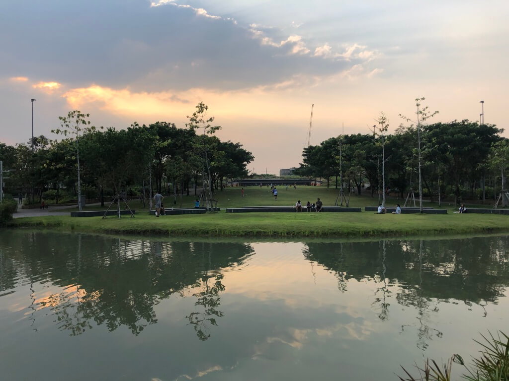
In trying to find space for expanded water management, Bangkok is trying find a local solution for regional conditions created by land use policies and practices outside the city’s municipal boundaries. Bangkok’s challenge, like so many other dense, high cost, flood prone urban environments, is to balance environmental, social, and cultural needs with the same public investment.
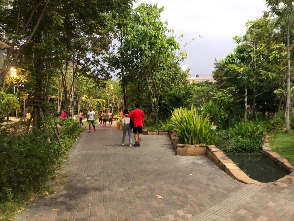
There are significant compromises and costs to efforts to mitigate flood risk for specific inhabitants as well as city residents broadly. For this reason, projects that make water management visible, like Kotch Voraakhom’s Centenary Sponge Park at Siam Square, are important for maintaining cultural connection to the landscape of water management.
As Bangkok’s residents move into structures that are further removed from aquatic life, it’s essential to nurture people’s connection to the region’s aquatic history.
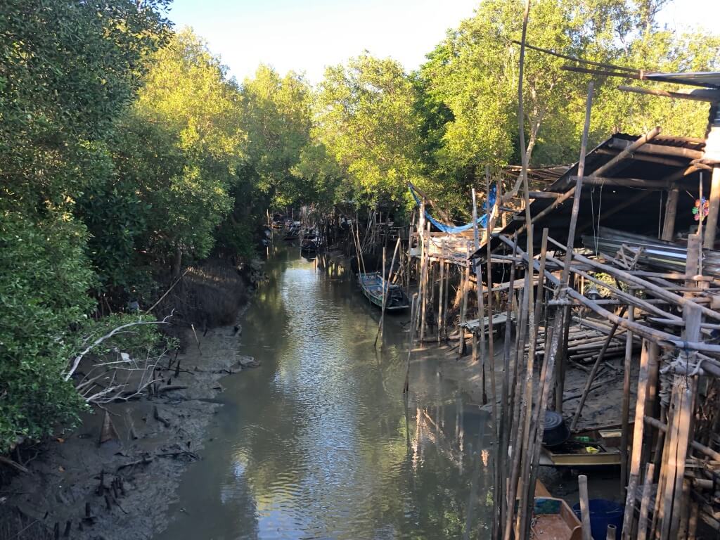
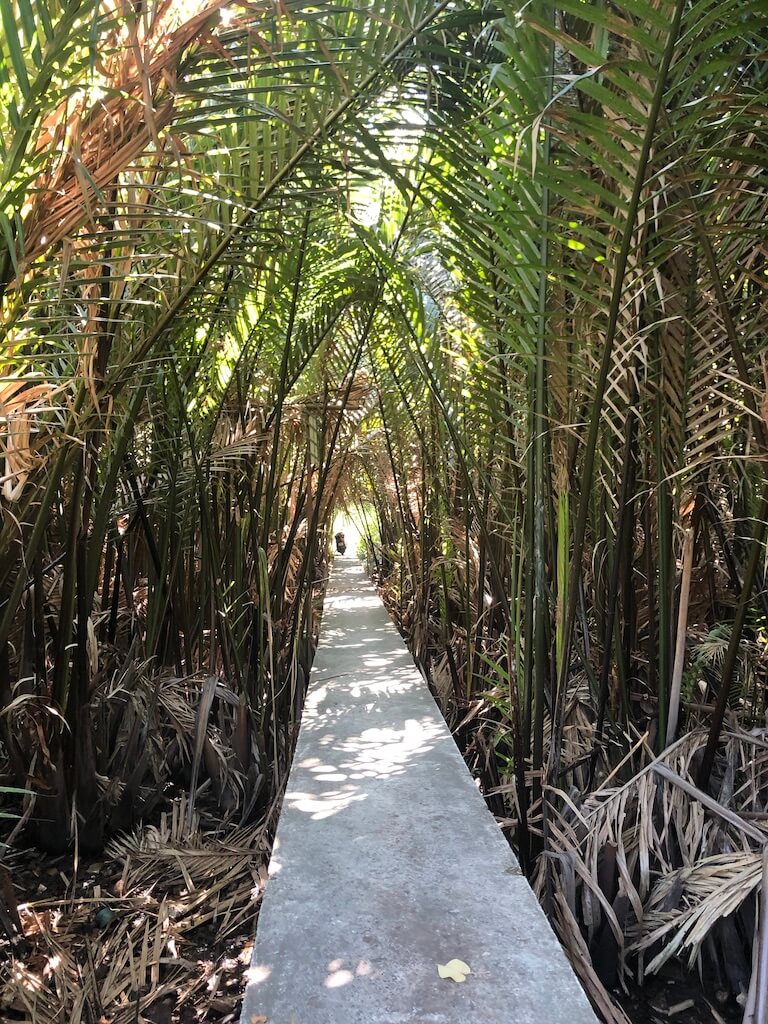
Bangkrajul is Bangkok’s last “green lung.” This vibrant community features walkways suspended above the mangroves and elevated houses, a vital weekend market, and very few vehicular roads. This more porous landscape shows it’s possible to live vibrantly with water.
We ended our trip in Bangkok’s peripheral mangroves. Tidal intrusions from the rising Bay of Thailand have destroyed streets, homes, and temples. Sea level rise is eroding the land and the living spaces.
Hard infrastructure, like levees, has failed to hold back the sea, but mangroves are slowly being restored to manage the consequences of a rising sea and sinking land. The mangroves help manage daily waterflows and demonstrate that the challenge isn’t just regional water management, it’s water management within a changing global landscape.
Visiting Bangkok made us think about how to reconnect people to their regional ecology so they can understand daily and global environmental systems. We were inspired to see traditional as well as experimental approaches to living with water and to use the waterways to explore an unfamiliar city, environment, and culture with colleagues. Bangkok’s future may not be entirely amphibious, but the physical and social structures will continuously adapt around the changing aquatic landscape.
All images courtesy of Deborah Morris